Eiskeller Exclave
The Eiskeller exclave was one of the strangest geographical anomalies of the Cold War. Three West Berlin farmsteads, connected to the main city by a corridor just four metres wide and 800 metres long, became an island of freedom surrounded by GDR territory.
The name “Eiskeller” (ice cellar) comes from the area’s unusually cold microclimate, caused by a natural depression that traps cold air. Temperatures here can be up to 10 degrees Celsius colder than in the rest of Berlin, making it the coldest spot in the city.
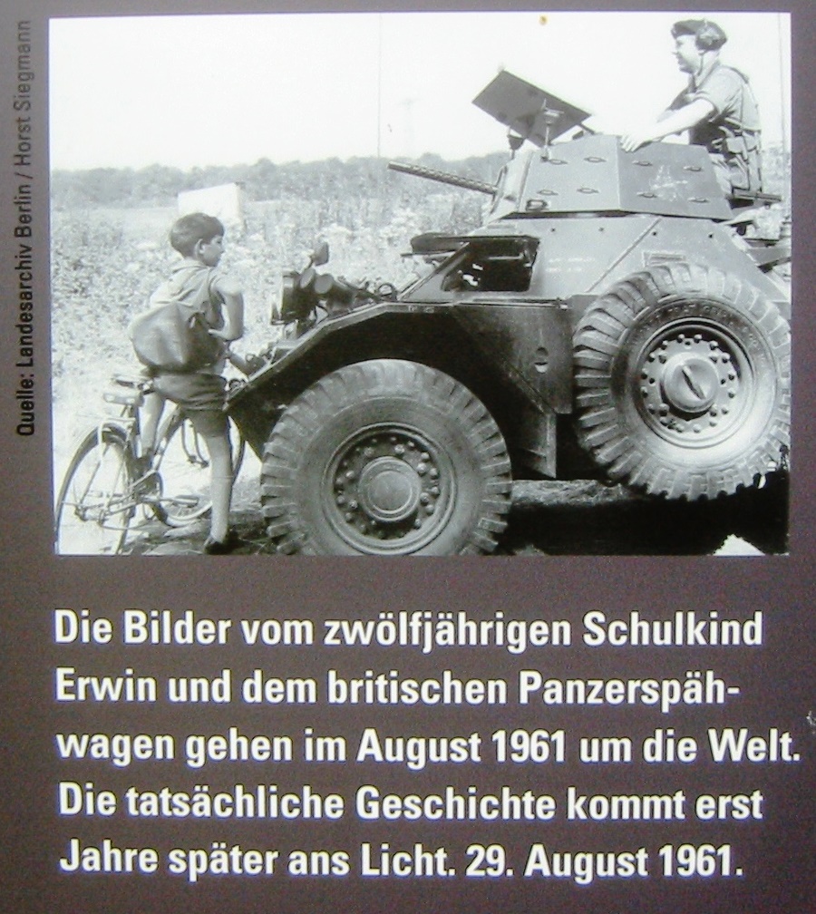
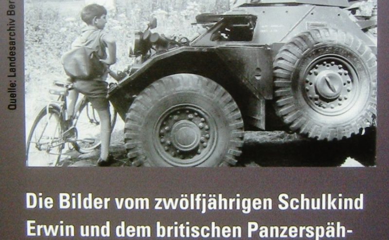
Der Junge behauptete, 1961 auf dem Weg zur Schule von Volkspolizisten aufgehalten worden zu sein und (Photo: Assenmacher (reproduction))
The exclave became world-famous through a photograph taken in 1961, shortly after the Wall went up. It showed 12-year-old Erwin Schabe being stopped by GDR border police on his way to school. The image of a child confronted by armed guards was published around the world and became one of the iconic images of the Cold War.
At its peak, only about a dozen people lived in the Eiskeller exclave. They had to travel along the narrow corridor, which was fenced on both sides, to reach the rest of West Berlin. British military police maintained a presence to ensure access. Today the area is a recreational green space, and the corridor path is part of the Berlin Wall Trail.
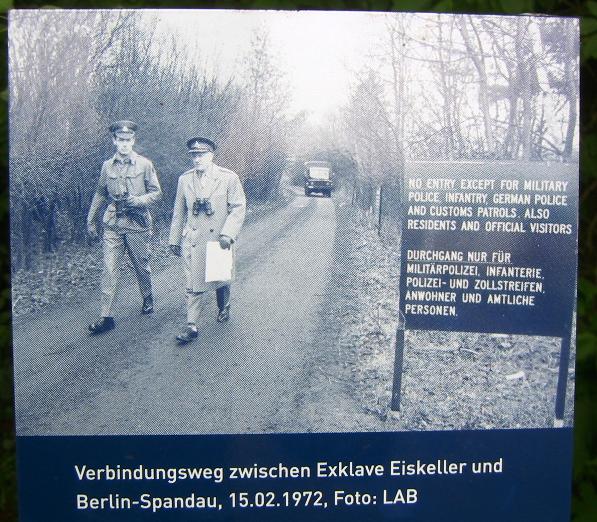
Verbindungsweg zur Exklave. Das Foto wurde auf einer öffentlich zugänglichen Informationsstele der R (Photo: Assenmacher)
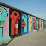
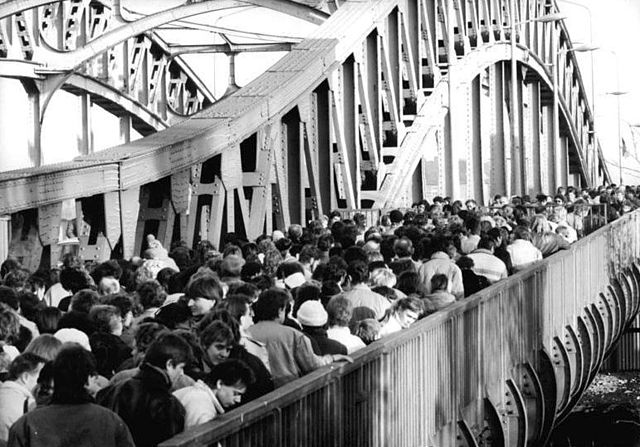
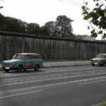
Gallery


Nearby Berlin Wall Sites
See all Berlin Wall sites near Eiskeller Exclave →
Free map downloads
Free printable PDF maps of the Berlin Wall.
Get the free maps →Explore the Timeline
Journey through Berlin Wall history from 1945 to 1990.
View Timeline →
Embed Our Map
Add a free interactive Berlin Wall map to your website or blog.
Get embed code →