Free Berlin Wall Maps to Download & Print
Free, printable PDF maps of the Berlin Wall - choose the full overview map of the whole route, or the central walking map for the self-guided Mauerweg. Both free for personal and educational use.
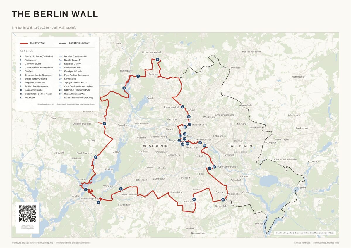 Berlin Wall Map - the Full Route
The complete 1961-1989 route around West Berlin (about 155 km) on a present-day street map, marking the border crossings, memorials and the East Side Gallery.
View & download →
Berlin Wall Map - the Full Route
The complete 1961-1989 route around West Berlin (about 155 km) on a present-day street map, marking the border crossings, memorials and the East Side Gallery.
View & download →
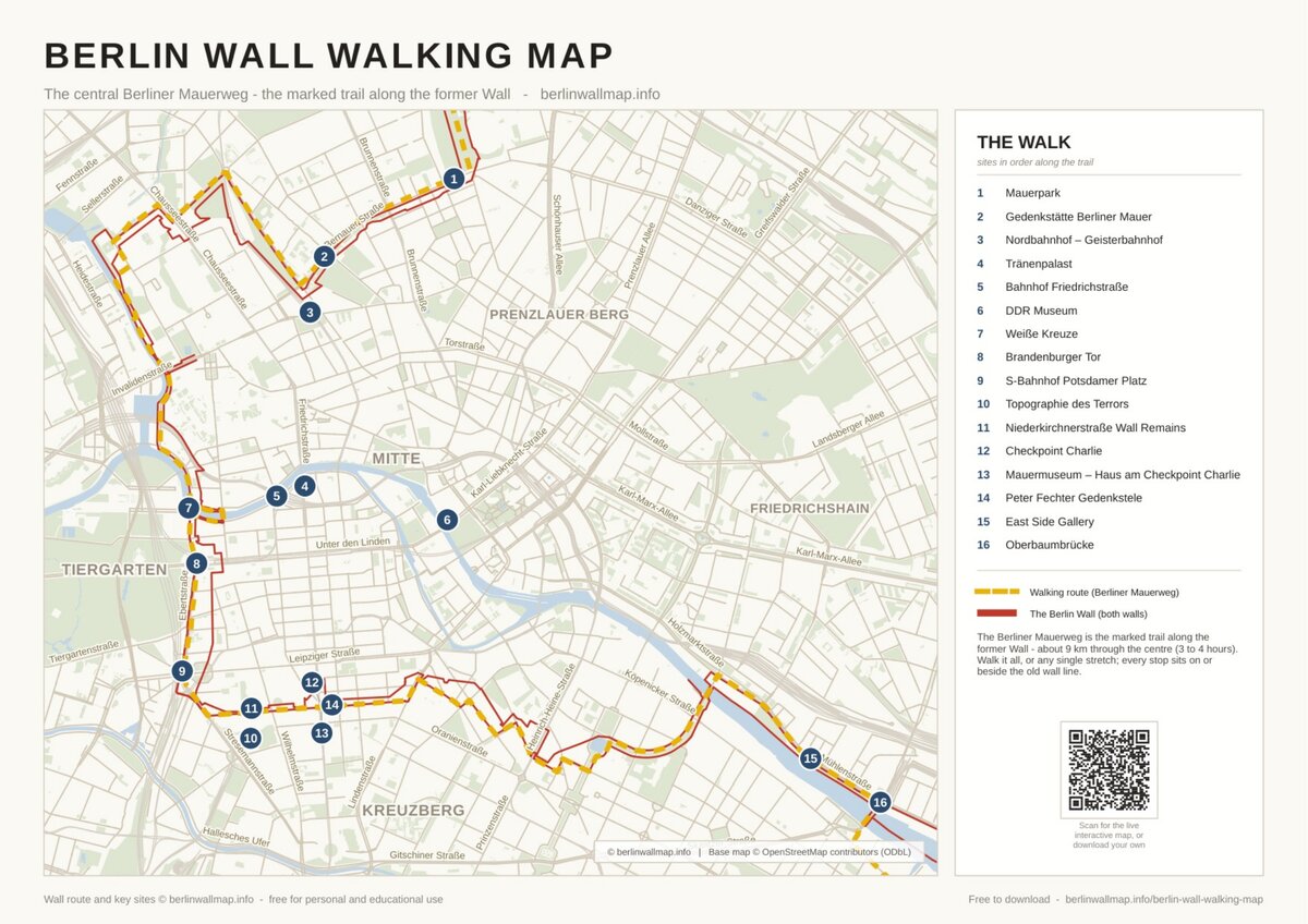 Berlin Wall Walking Map - Central Mauerweg
The central Berliner Mauerweg through Mitte, past 16 key sites from Bernauer Strasse to the East Side Gallery. About 9 km, on a clear street map.
View & download →
Berlin Wall Walking Map - Central Mauerweg
The central Berliner Mauerweg through Mitte, past 16 key sites from Bernauer Strasse to the East Side Gallery. About 9 km, on a clear street map.
View & download →
Prefer to explore online?
Open the interactive Berlin Wall map - search 80+ sites on a live, mobile-friendly map.
Interactive map →Frequently asked questions
Are the Berlin Wall maps free to download?
Yes - every map here is free for personal and educational use. Download, print and share them; we just ask that you keep the berlinwallmap.info attribution on the map.
Which map should I choose?
The overview map shows the whole 155 km route around West Berlin - best for grasping the full extent. The walking map zooms into central Berlin for the ~9 km self-guided walk past the main sites. Most people grab both.


Explore the Timeline
Journey through Berlin Wall history from 1945 to 1990.
View Timeline →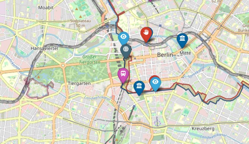
Embed Our Map
Add a free interactive Berlin Wall map to your website or blog.
Get embed code →Support the project
Enjoying the site? A small tip keeps it free.
Support on Ko-fi →