Free Berlin Sectors Map - the Four Occupation Sectors of Divided Berlin
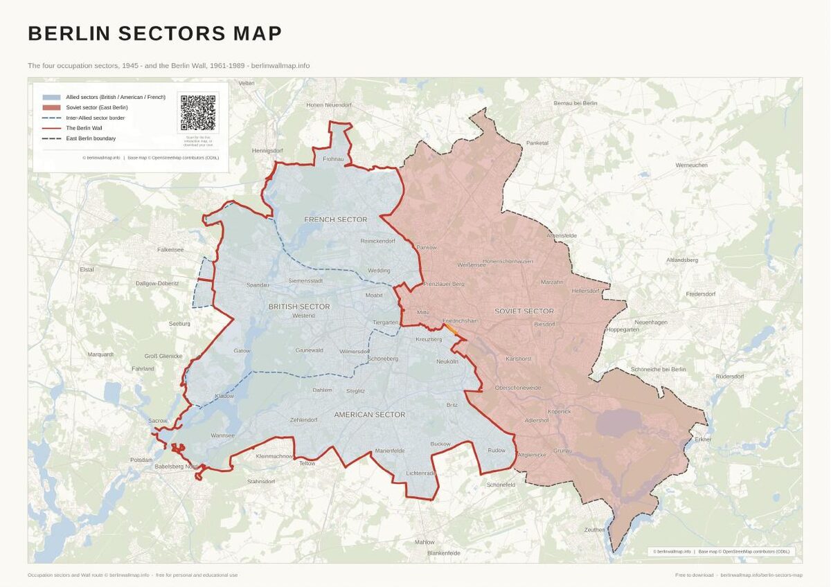
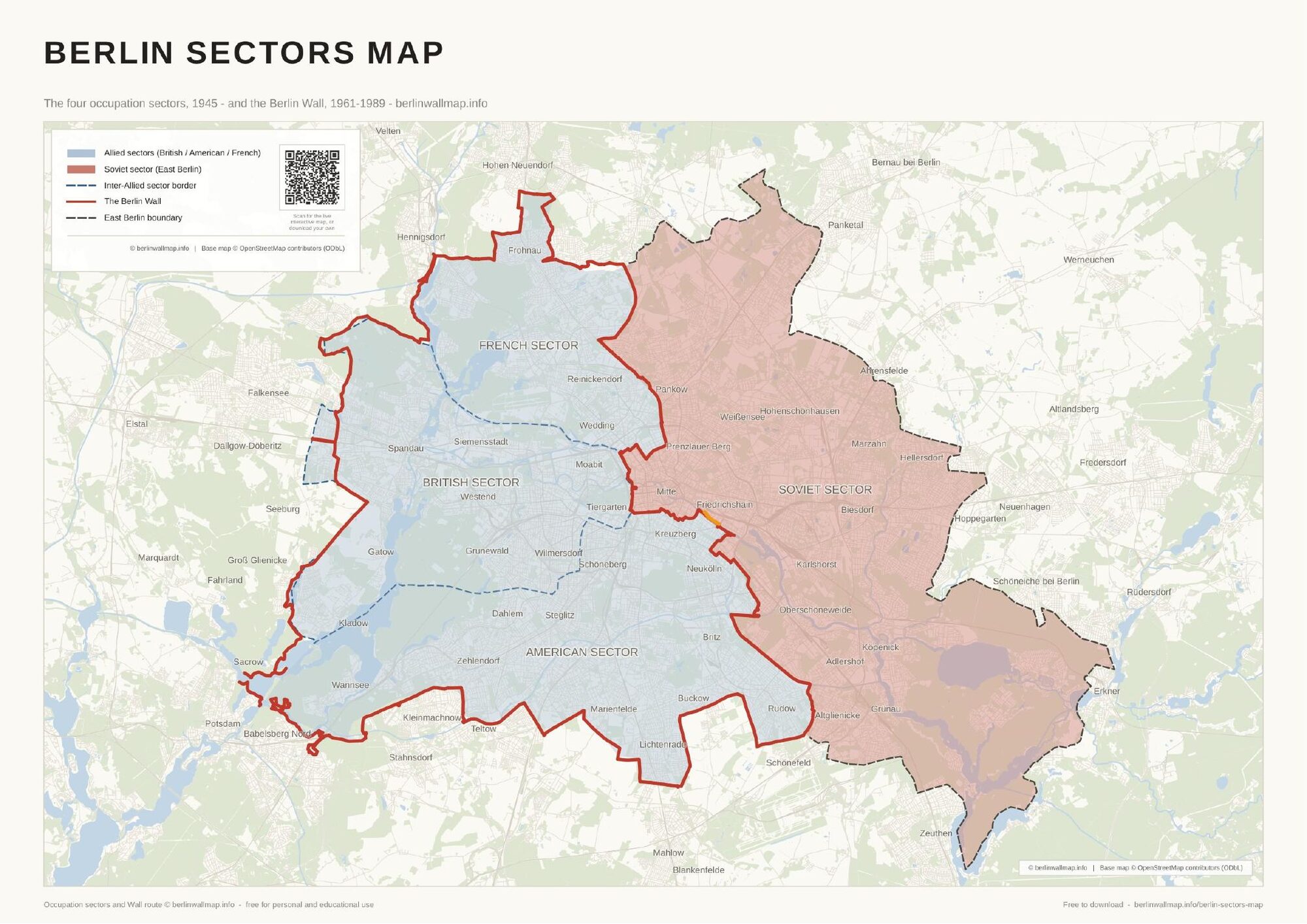
Download a free, printable PDF map of divided Berlin and its four 1945 occupation sectors. It shows the Soviet sector (East Berlin) in red and the three Allied sectors - American, British and French (West Berlin) - in blue, with the dashed borders between them and the complete route of the Berlin Wall traced on a present-day street map. Free for personal and educational use.
What's on the map
- All four 1945 occupation sectors - American, British, French and Soviet
- The three Allied sectors (West Berlin) in one blue; the Soviet sector (East Berlin) in red
- The dashed borders between the Allied sectors, with each sector clearly labelled
- The complete route of the Berlin Wall, on a present-day street map with district names
- Clean, print-ready A3 - ideal for classrooms and Cold War history
Free for personal and educational use. Map (c) berlinwallmap.info; occupation sectors and wall route by berlinwallmap.info. Please keep the attribution intact and do not resell.
Keep exploring
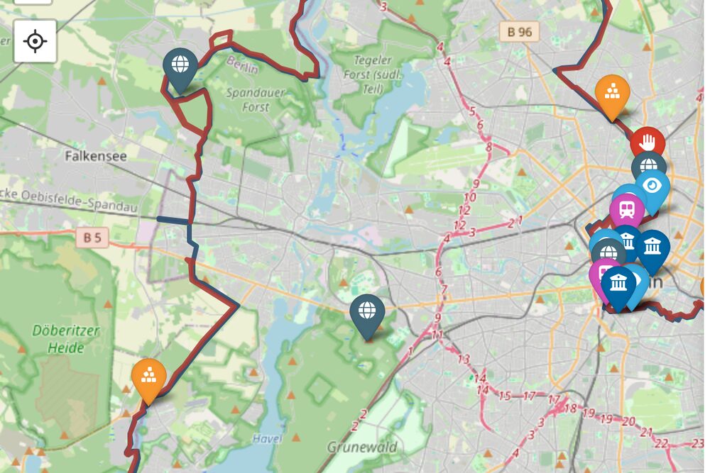 Explore the interactive map →
Search 80+ sites, memorials and crossings on a live, mobile-friendly map.
Explore the interactive map →
Search 80+ sites, memorials and crossings on a live, mobile-friendly map.
Full route map (PDF) Walking map (PDF) Places to visit History timeline
Found this useful?
This map is free to download and share - and always will be. If it helped, you can support the project with a small tip. It keeps the maps free and the site going.
Support on Ko-fiFrequently asked questions
What were the four sectors of Berlin?
After 1945 Berlin was divided into four occupation sectors - American, British and French in the west, and Soviet in the east. This free map shows all four on a present-day street map, with the sector borders and the later line of the Berlin Wall.
Which sector became East Berlin?
The Soviet sector became East Berlin, the capital of East Germany (the GDR). The three western sectors - American, British and French - merged into West Berlin. On the map the Soviet sector is red and the Allied sectors are blue.
Why is the map one colour for the three western sectors?
The three Allied sectors together made up West Berlin, so they share one blue. The dashed lines mark the borders between the American, British and French sectors.
Is the Berlin sectors map free to download?
Yes. The PDF is free for personal and educational use - download it, print it, share the link. We just ask that you keep the berlinwallmap.info attribution on the map.
Checkpoint Charlie
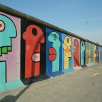
East Side Gallery
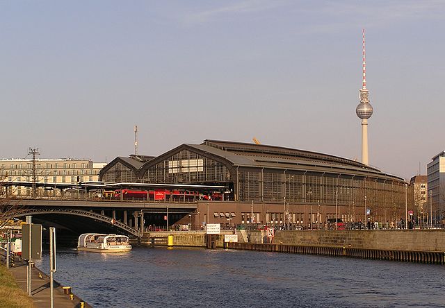
Bahnhof Friedrichstraße
History of the Berlin Wall: A Complete Guide (1961-1989)
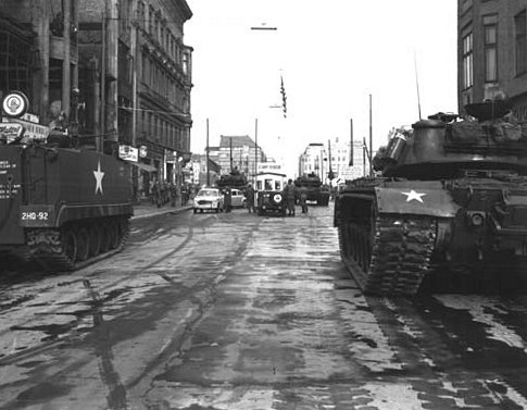
65 Years Ago: US and Soviet Tanks Faced Off at Checkpoint Charlie
The Border Guards of the Berlin Wall: Conscripts, the Order to Shoot, and the Trials That Followed
9 November in Berlin: 37 Years Since the Wall Fell, and What’s On
Gethsemanekirche
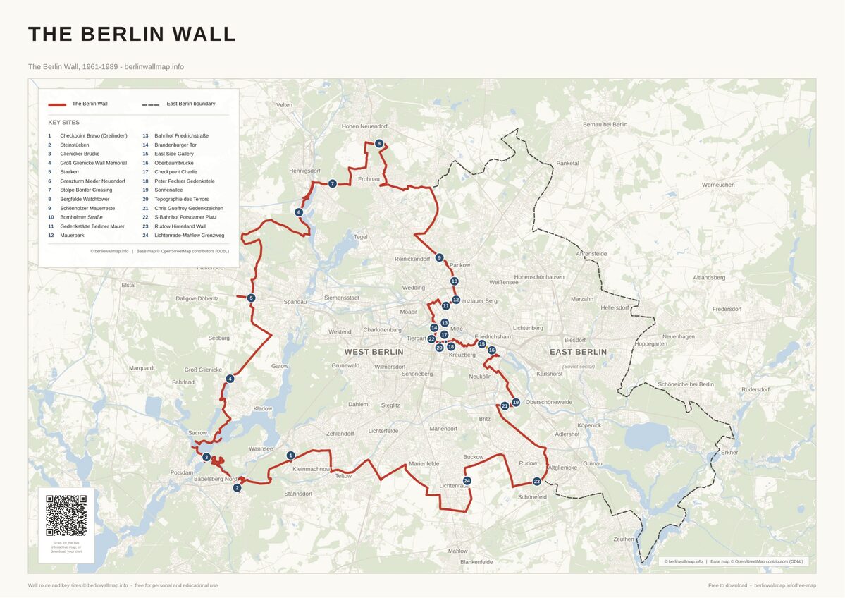
Free map downloads
Free printable PDF maps of the Berlin Wall.
Get the free maps →Explore the Timeline
Journey through Berlin Wall history from 1945 to 1990.
View Timeline →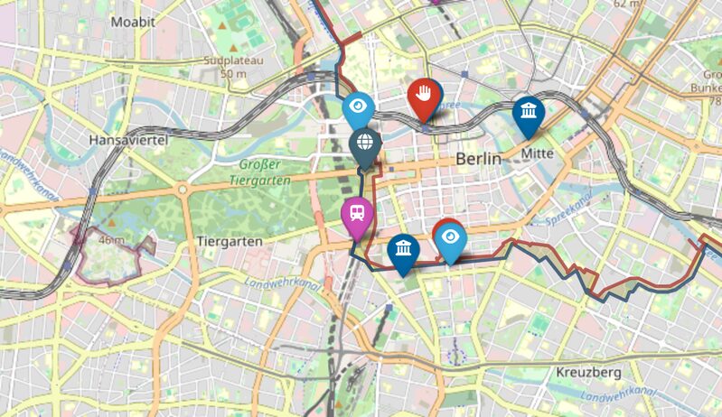
Embed Our Map
Add a free interactive Berlin Wall map to your website or blog.
Get embed code →