The Islands of West Berlin: Steinstücken, Eiskeller and the Exclaves Stranded in the East
Everyone knows West Berlin was an island. Fewer people know it was an archipelago. Scattered across the countryside around the city were a dozen detached scraps of West Berlin territory, some of them meadows, one of them a village with families living in it, each entirely surrounded by East Germany. They are the strangest thing the division produced, and most of them are now so completely absorbed into the landscape that you can stand in one without knowing.
Nobody could agree how many there were
The number was itself a political question. West Berlin counted eleven exclaves. East German and Soviet maps recognised six or seven. West Berlin insisted that a twelfth area, the Eiskeller, was not an exclave at all, because a strip of land connected it to the rest of Spandau, and conceding otherwise would have handed the GDR an argument about access.
This is worth sitting with, because it tells you what these places were for. A patch of seasonally ploughed field called Wüste Mark, twenty-two hectares of nothing in particular, mattered enormously to both sides. Not for the farming. For what recognising it would have meant.
The exclaves existed because of an administrative decision made long before anyone imagined a Wall. When Greater Berlin was formed in 1920 it swallowed a ring of independent communities, and the new city boundary was drawn around parcels of land that belonged to those communities rather than around anything you could see on the ground. In 1945 the occupation sectors followed the 1920 boundary. Twenty-five years of paperwork became a Cold War problem overnight.
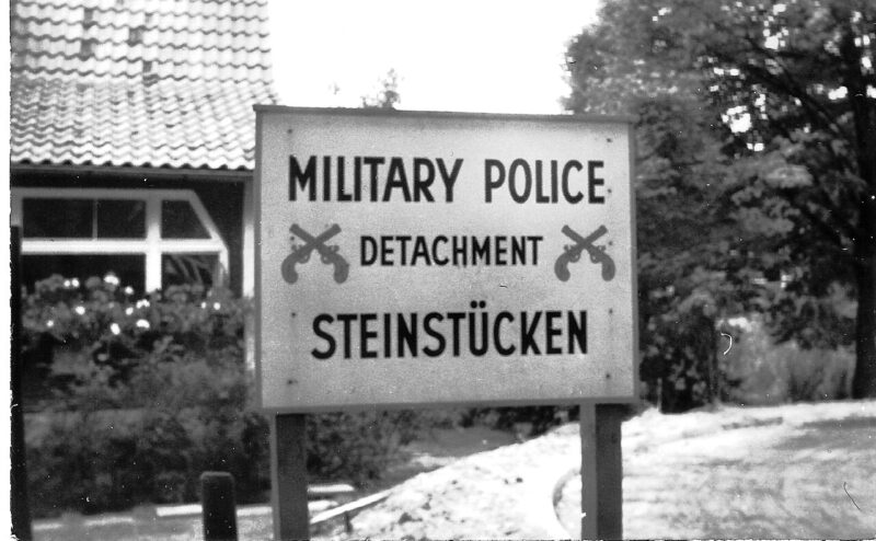
Steinstücken: the one with people in it
Steinstücken was the only exclave anybody lived in permanently. Twelve and a half hectares in the American sector, a couple of hundred residents, roughly a kilometre beyond the edge of the rest of West Berlin, reachable only by a path through East German territory. Until 1971 the residents passed East German border controls to go home. Their post, their shopping, their children’s schooling, all of it ran through a checkpoint.
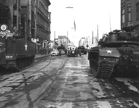
For a few weeks after August 1961 the boundary here was still only Spanish riders, the portable barbed-wire frames, and Steinstücken became a place people came to cross. More than twenty East German border soldiers went over at this spot. The GDR’s answer was to build the exclave its own wall, and the gap closed.
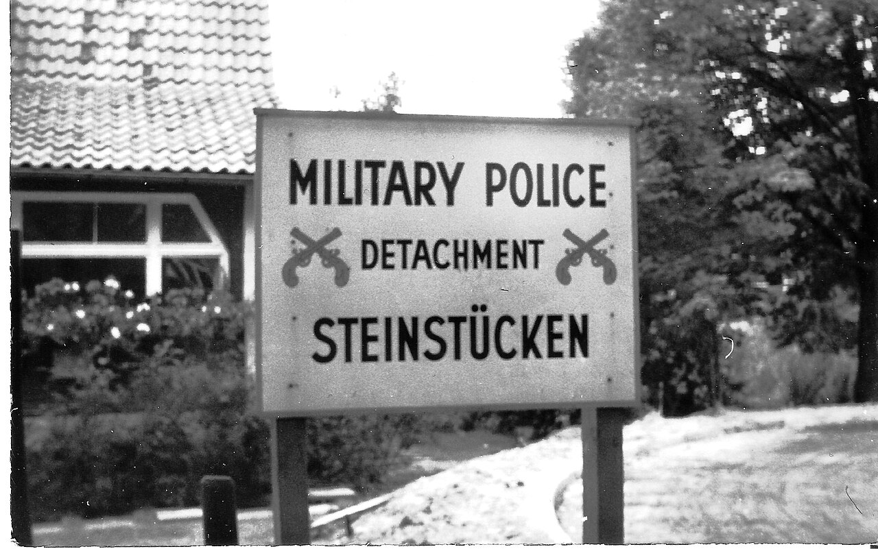
What made Steinstücken famous was the American response. General Lucius D. Clay flew in by helicopter on 21 September 1961, and a permanent US military post followed. The soldiers were rotated in by air, a landing pad was built for the purpose, and people who escaped into the exclave were flown out over the GDR rather than marched back through a checkpoint. For ten years a handful of American soldiers held a village-sized piece of West Berlin that could only practically be reached from the sky. A memorial to those flights stands in Steinstücken today.
The anomaly ended with paperwork, as it had begun. Under the 1971 Four Power Agreement East Germany handed over a strip about a kilometre long and twenty metres wide, a two-lane road was built along it, Bernhard-Beyer-Straße, and Steinstücken stopped being an exclave. Bus route 18 was extended into the village in 1972. You can ride its descendant, the 118, there now.
Eiskeller: an armoured car, a schoolboy, and a story that may not be true
The Eiskeller sits at the north-western edge of Spandau and is named for its microclimate, a frost hollow that runs several degrees colder than the rest of Berlin. Three farmsteads, reached by a corridor eight hundred metres long and four metres wide with walls along both sides.
In late August 1961 a twelve-year-old called Erwin Schabe, who lived with his mother on the Große Kuhlake farm, came home saying East German border police had stopped him on the way to school and held him for hours. Spandau was in the British sector, and the British response was immediate and disproportionate in the way that made the Cold War legible: for the following days they escorted the boy along the corridor in a Ferret armoured scout car. The photographs of a child cycling to school behind an armoured vehicle went around the world.
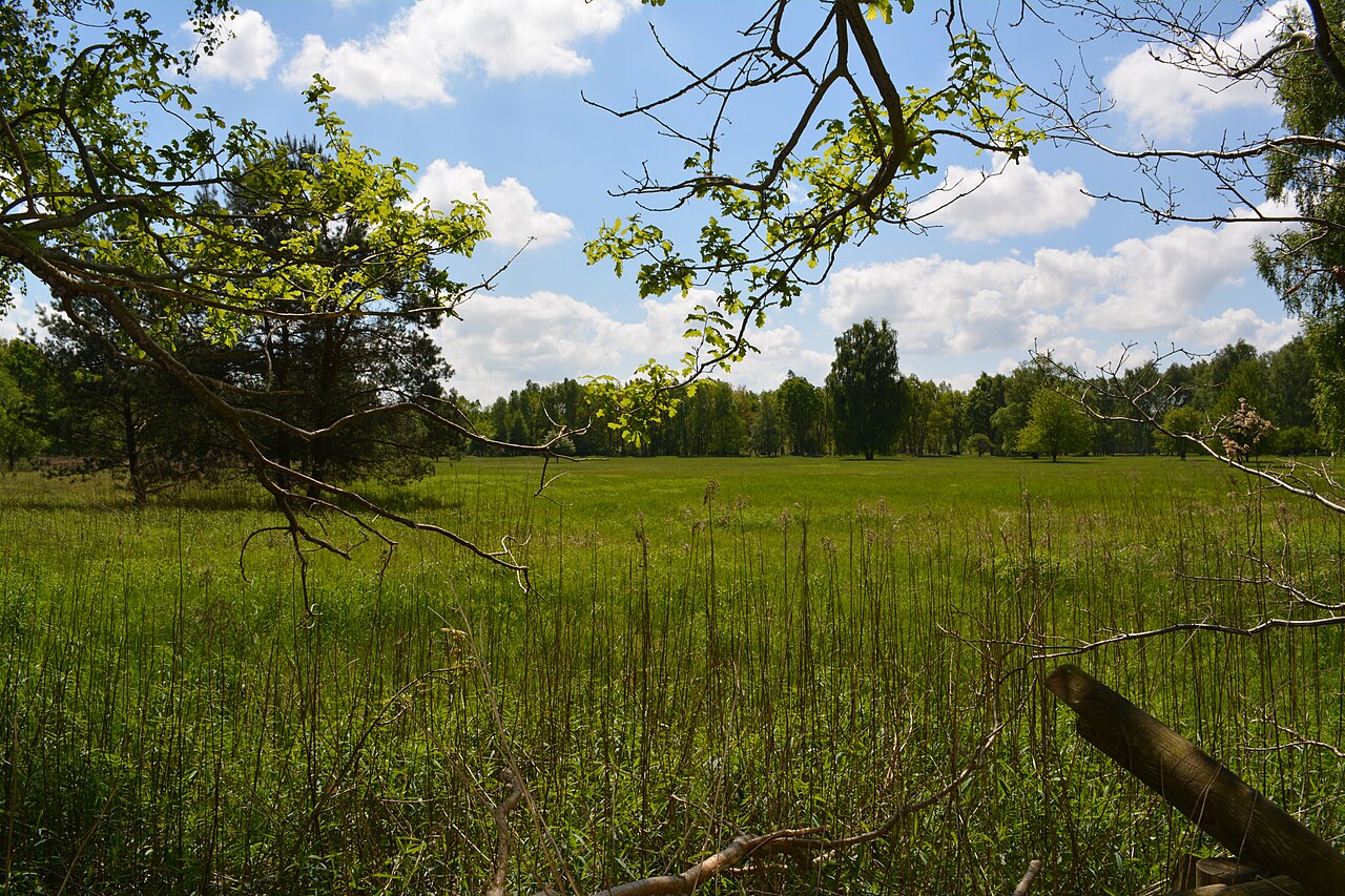
German accounts report that Schabe later admitted he had invented the whole thing, having simply not wanted to go to school that day. It is repeated widely and it is entirely plausible, but no source names the interview it is supposed to come from, so treat it as the story about the story rather than as established fact. Either way the photograph did its work, and it remains one of the sharpest images of how absurd the geography had become.
The Eiskeller also settles a definitional argument. Because of that corridor, West Berlin maintained it was not an exclave at all. It is one of the few places where you can point at a map and watch two governments disagree about what a word meant.
Klein Glienicke: the same trick in reverse
The GDR had an island of its own. Klein Glienicke, a village on the Potsdam side, was surrounded by West Berlin on three sides and joined to East Germany by a single bridge, the Parkbrücke, which was watched constantly. Living there required a permit.
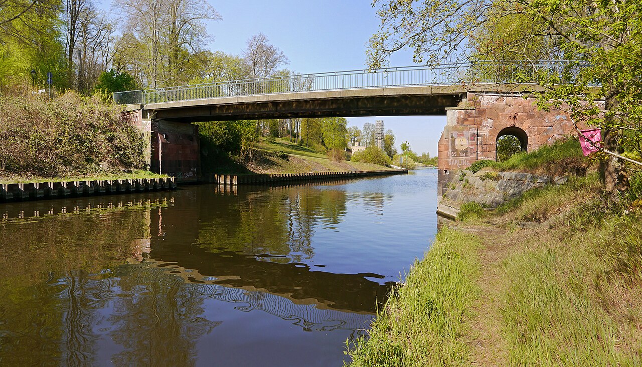
Residents called it the blind gut, the appendix, and the comparison is exact: a dead end the body has no use for and cannot easily remove. The Berlin Wall Trail crosses at the Parkbrücke, so you can now walk into it the way almost nobody could for twenty-eight years.
How the islands disappeared
They were traded away in two rounds. In 1971 and 1972, alongside the Steinstücken corridor, West Berlin ceded Böttcherberg, Finkenkrug, Große Kuhlake and Nuthewiesen. The last of them went in 1988: Falkenhagener Wiese, Laßzinswiesen and Wüste Mark, the twenty-two hectares of field, handed to Stahnsdorf a year before the Wall opened and the whole question stopped mattering.
Seeing them today
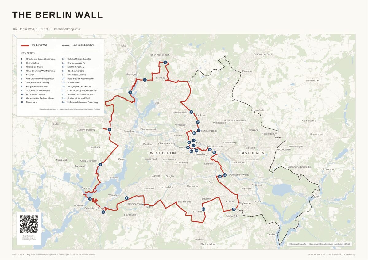
All three places in this guide are on our interactive map. Steinstücken is the rewarding one to visit: an ordinary suburban village at the very southern tip of Berlin that happens to have a memorial to a helicopter service. Klein Glienicke sits on the Mauerweg and costs you nothing but a detour, so it pairs naturally with cycling the Wall Trail. The Eiskeller is a walk through woodland to three farms, and the corridor is still legible if you know it is there.
For how the border itself was built around places like these, see our complete history of the Berlin Wall.
Frequently asked questions
How many exclaves did West Berlin have?
Between six and twelve, depending on who was counting. West Berlin said eleven, plus the Eiskeller which it insisted did not qualify; East German and Soviet maps recognised as few as six.
Did anyone actually live in them?
Only in Steinstücken, which had a couple of hundred residents. The others were fields, woods and meadows, with the Eiskeller’s three farmsteads a borderline case.
Do any still exist?
No. The last were exchanged in 1988. Steinstücken is joined to the rest of Berlin by Bernhard-Beyer-Straße and is an ordinary part of Wannsee.
Why did they exist at all?
The 1920 creation of Greater Berlin drew the city boundary around land owned by the communities it absorbed, leaving detached parcels. In 1945 the occupation sectors followed that boundary.
Can you visit them?
Yes, all three freely. Steinstücken and Klein Glienicke are ordinary residential streets; the Eiskeller is open countryside on the Berlin Wall Trail.
Free map downloads
Free printable PDF maps of the Berlin Wall.
Get the free maps →Explore the Timeline
Journey through Berlin Wall history from 1945 to 1990.
View Timeline →
Embed Our Map
Add a free interactive Berlin Wall map to your website or blog.
Get embed code →