
Niederkirchnerstraße Wall Remains
A 200-metre preserved section of the Berlin Wall runs along Niederkirchnerstraße, between the Martin-Gropius-Bau and the Topography of Terror documentation centre. This is one of the longest remaining original sections of the inner wall (Hinterlandmauer) in central Berlin, showing the scars of souvenir hunters who chipped away pieces after the fall.
Unlike the East Side Gallery, which preserves the outer wall that faced West Berlin, this section was the rear wall – the Hinterlandmauer – that faced East Berlin and sealed off the death strip from the eastern side. The distinction matters: most visitors to Berlin see the colourfully painted outer wall, but the Niederkirchnerstraße section shows the wall as East Germans experienced it – grey, forbidding, and windowless.
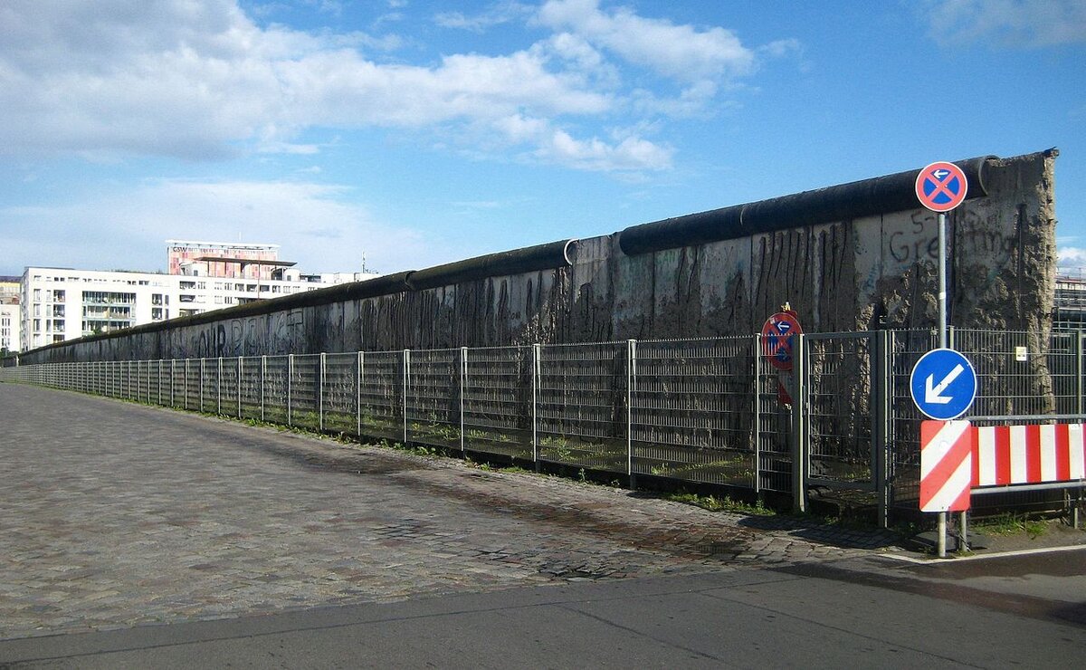
The preserved wall section along Niederkirchnerstraße, with the Topography of Terror site behind (Photo: OTFW, Berlin)
Niederkirchnerstraße marked the exact border between Berlin-Mitte (East Berlin) and Kreuzberg (West Berlin) until 1989. The street was renamed from Prinz-Albrecht-Straße in 1951, after Käthe Niederkirchner, a communist resistance fighter who died in Ravensbrück concentration camp.
The wall segment stands on the grounds of the Topography of Terror, which documents the history of the Nazi terror apparatus – the Gestapo, SS, and Reich Security Main Office all had their headquarters on this street. The juxtaposition of Nazi and Cold War history in one location makes this one of the most historically layered sites in Berlin.
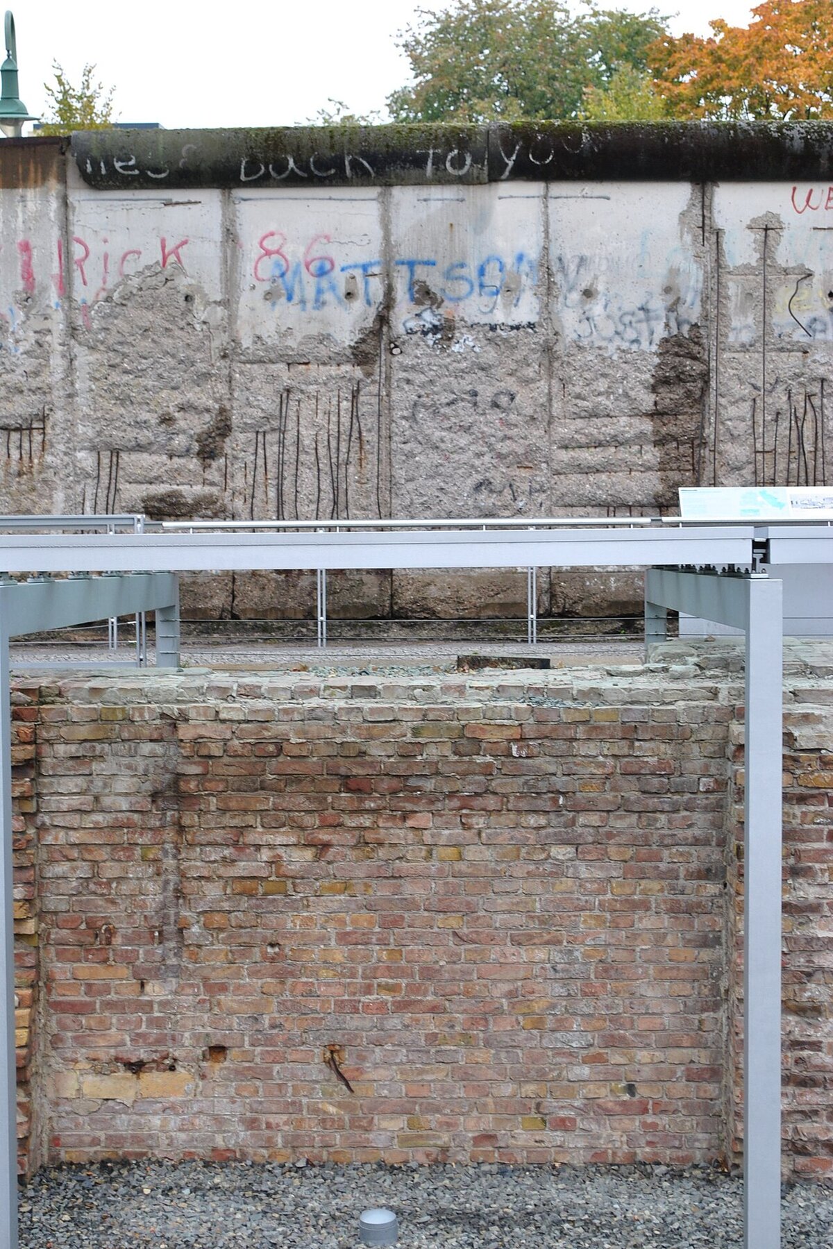
Close-up showing exposed rebar and damage from Mauerspechte (wall-peckers) who chipped away pieces after 1989 (Photo: Marek Mróz)
The wall here is protected as a historical monument. Unlike reconstructed or relocated wall segments found elsewhere in the city, this section stands in its original position, making it an authentic remnant of the border fortifications.
Show me on the mapGallery


Nearby Berlin Wall Sites
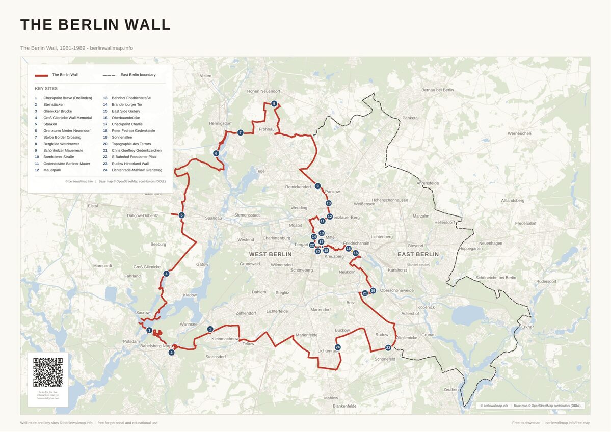
Free map downloads
Free printable PDF maps of the Berlin Wall.
Get the free maps →Explore the Timeline
Journey through Berlin Wall history from 1945 to 1990.
View Timeline →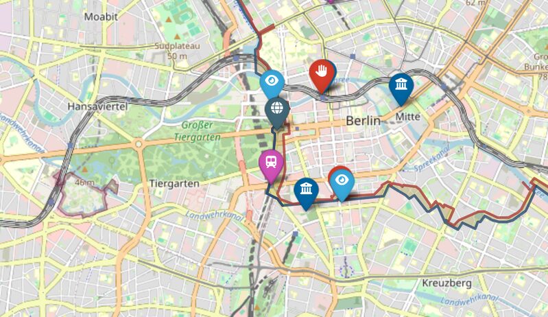
Embed Our Map
Add a free interactive Berlin Wall map to your website or blog.
Get embed code →