
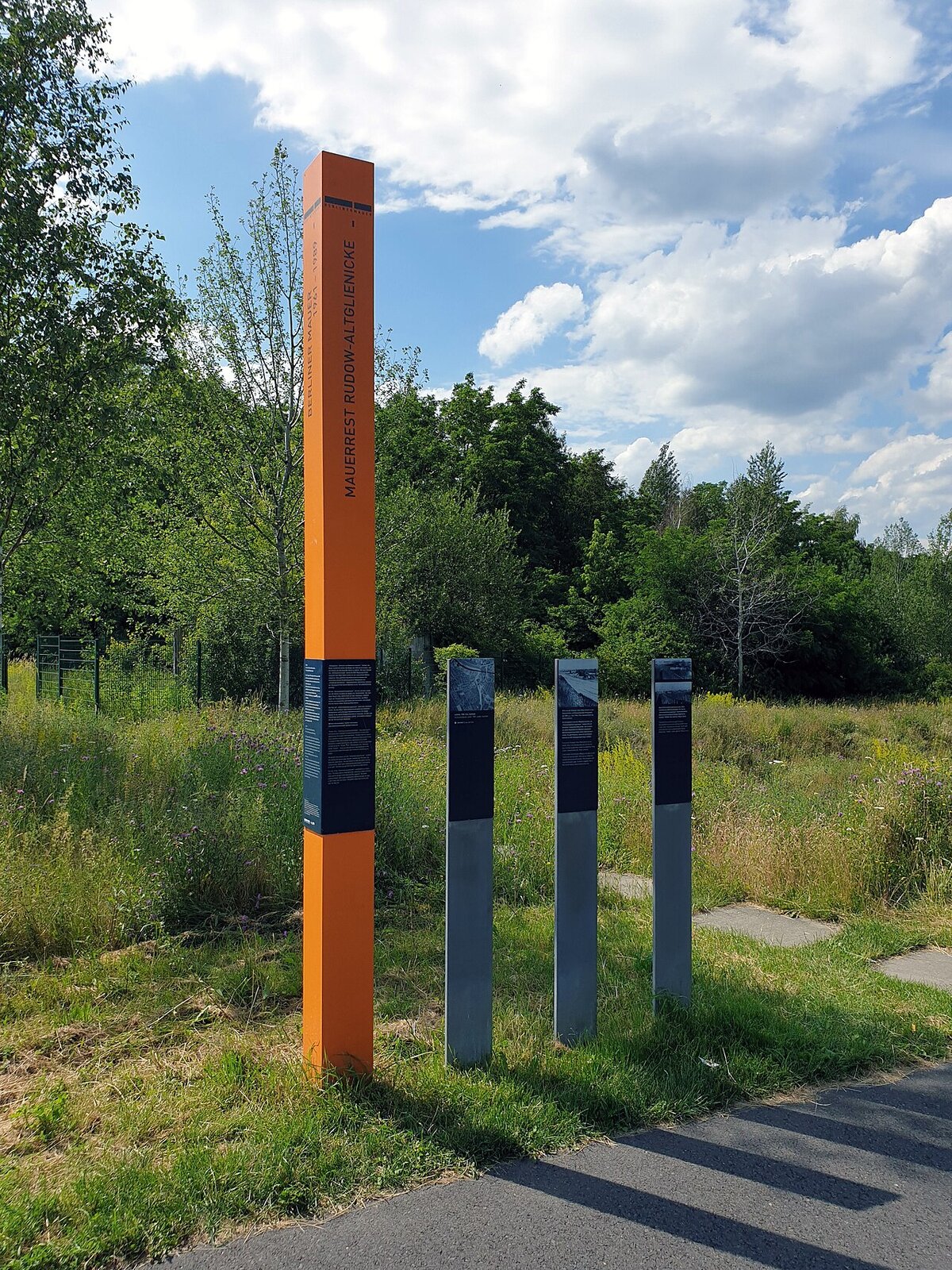
Rudow Hinterland Wall
The Rudow Hinterland Wall preserves the southernmost Berlin Wall remains in the city. Third-generation concrete slabs stand between H-shaped reinforced concrete supports, overlooking a former death strip that has been reclaimed by nature.
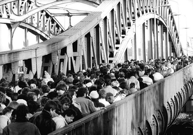
Located in the Neukolln district near Rudower Hohe, these wall remains are part of the “Hinterlandmauer” (hinterland wall), the inner wall that formed the eastern boundary of the death strip. While most visitors to Berlin see the outer wall (facing West), the hinterland wall was equally important in the border system, preventing East German citizens from even reaching the death strip.

Memorial, Berliner Mauer, Berliner Mauerweg, Berlin-Altglienicke, Germany (Photo: OTFW, Berlin)
Rudower Hohe itself is a 28-metre artificial hill constructed from World War II rubble. The mound offers views over the former border area, where the death strip has been transformed into a nature reserve with approximately 2,500 trees. The Wall Trail passes through this section, following the route of the old patrol road.
The memorial plaque at the site documents the history of the border in this area, including the construction phases of the wall and the experiences of residents who lived in its shadow.
Memorial plaque, Berliner Mauer, Berliner Mauerweg, Berlin-Altglienicke, Germany (Photo: OTFW, Berlin)
Gallery


Nearby Berlin Wall Sites
Free map downloads
Free printable PDF maps of the Berlin Wall.
Get the free maps →Explore the Timeline
Journey through Berlin Wall history from 1945 to 1990.
View Timeline →
Embed Our Map
Add a free interactive Berlin Wall map to your website or blog.
Get embed code →