
Cycling the Berlin Wall: The Berliner Mauerweg
Yes, you can cycle the entire Berlin Wall route. The Berliner Mauerweg (Berlin Wall Trail) is a 160-kilometre signposted path that follows the former border around West Berlin. The trail is mostly flat, suitable for all fitness levels, and passes dozens of historical sites, memorials, and information panels along the way. Most cyclists complete it in two to three days, though you can also ride it section by section.
What Is the Berliner Mauerweg?
The Berliner Mauerweg was officially opened in 2006 as a joint project between Berlin and Brandenburg. It traces the approximately 160 kilometres of the former border that once encircled West Berlin, not just the inner-city wall between East and West Berlin, but also the longer outer border between West Berlin and the surrounding East German countryside. The trail uses a mix of paved cycling paths, quiet residential streets, forest tracks, and short stretches of road. Green signs with a stylised wall icon mark the route, and over 40 information panels at historically significant locations provide context in German and English.
The path runs through strikingly varied landscapes. In the inner city, you ride past preserved wall segments, memorials, and former border crossings. In the outer sections, the trail passes through Brandenburg farmland, pine forests, and along lakeshores where the border once cut through open water. This contrast, between dense urban history and peaceful countryside, is one of the trail’s most distinctive qualities.
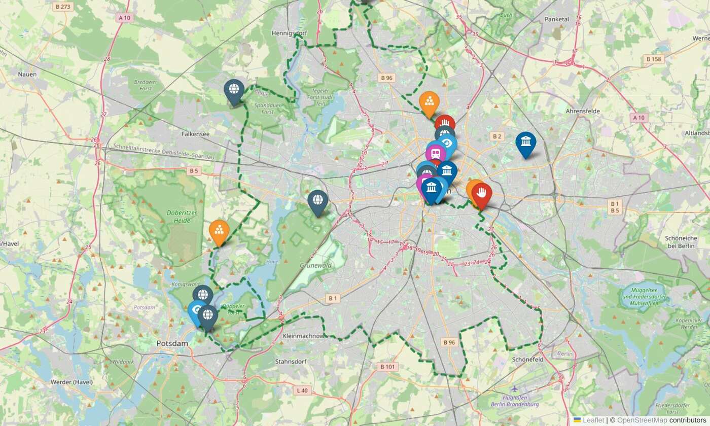
The Route in 14 Stages
We have split the loop into 14 ride-able stages, each one ending at an S-Bahn or regional station so you can tackle them one at a time and take the train back. The stages below run clockwise from the Brandenburg Gate, but you can join the loop anywhere. Distances are measured along the actual route. Tap any map below to open that stage in our interactive map.
Stage lengths vary from about 5 to 21 km, and that is deliberate. Each stage begins and ends at an S-Bahn or regional station, the monument-dense inner-city stretches are kept short (there is far more to stop for), and the quieter outer ring through Brandenburg runs in longer, faster stages. Treat them as building blocks: ride a single stage, string a few together into a day, or split a long one to suit your pace and the time you have.
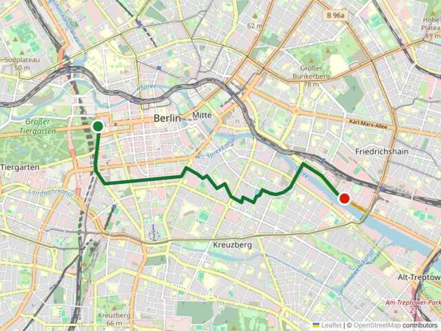
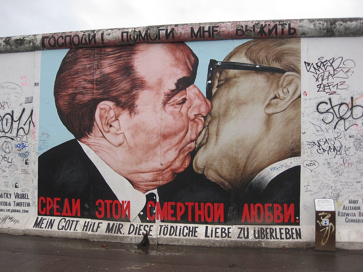
1. Brandenburg Gate to East Side Gallery (7 km). The monument-dense heart of the trail, past Potsdamer Platz, the watchtower on Erna-Berger-Straße, Topographie des Terrors, Checkpoint Charlie and the Peter Fechter memorial, ending at the longest surviving stretch of painted wall. View this stage on the map →
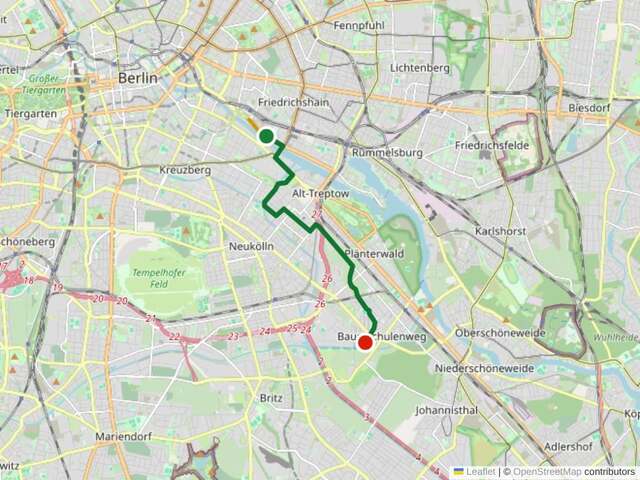
2. East Side Gallery to Schöneweide (8 km). Cross the Spree at the Oberbaumbrücke and follow the border southeast through Treptower Park and along the canals. View this stage on the map →
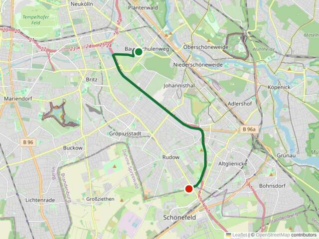
3. Schöneweide to Schönefeld (11 km). Through the southeastern suburbs of Johannisthal, Adlershof and Bohnsdorf, out to the edge of the city near Schönefeld. View this stage on the map →
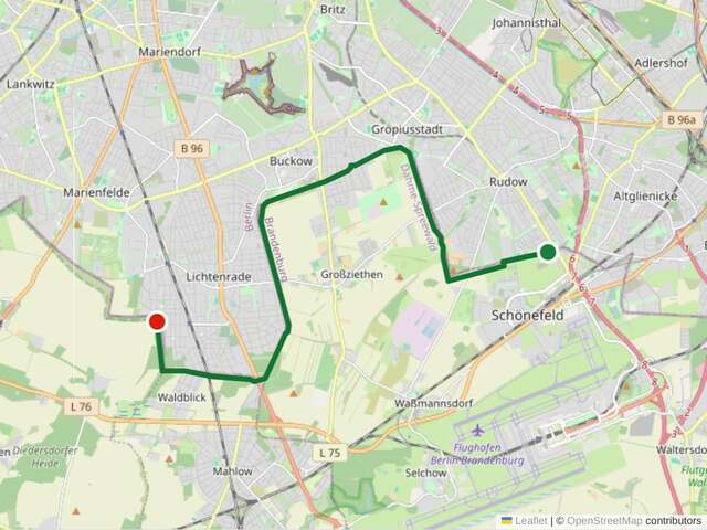
4. Schönefeld to Lichtenrade (16 km). The southern outer ring through Brandenburg fields and villages, past former border-crossing sites around the Waltersdorfer Chaussee. View this stage on the map →
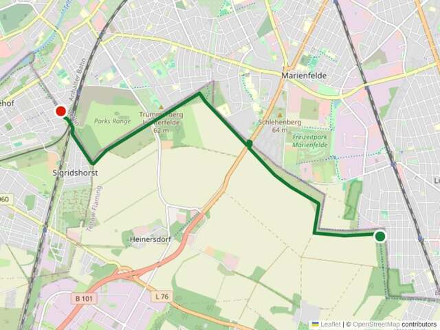
5. Lichtenrade to Lichterfelde Süd (8 km). Quiet southern suburbs through Marienfelde, past the Marienfelde reception centre, into Lichterfelde. View this stage on the map →
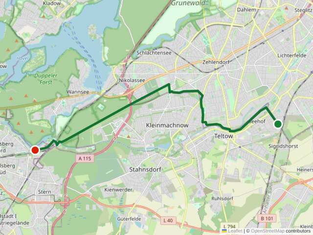
6. Lichterfelde Süd to Griebnitzsee (16 km). Past Checkpoint Bravo at Dreilinden, the main Allied transit point on the motorway to West Germany, then through Teltow and along the Teltow Canal. View this stage on the map →
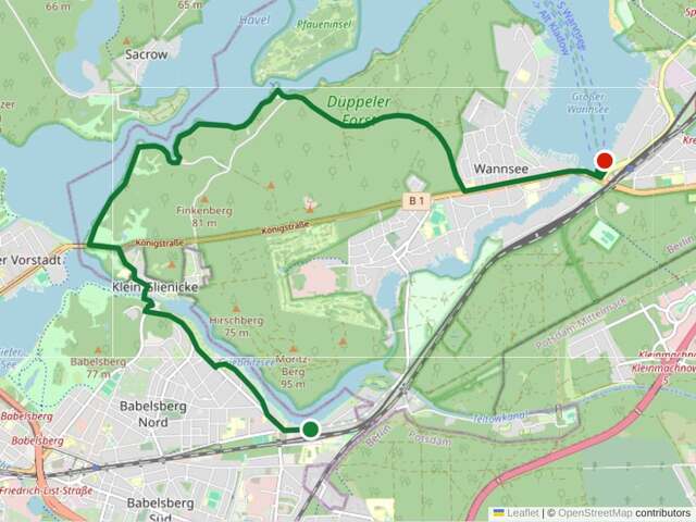
7. Griebnitzsee to Wannsee (12 km). A scenic lakeside stretch past the Glienicker Brücke, the Cold War “Bridge of Spies”, and the curious exclave of Steinstücken. View this stage on the map →
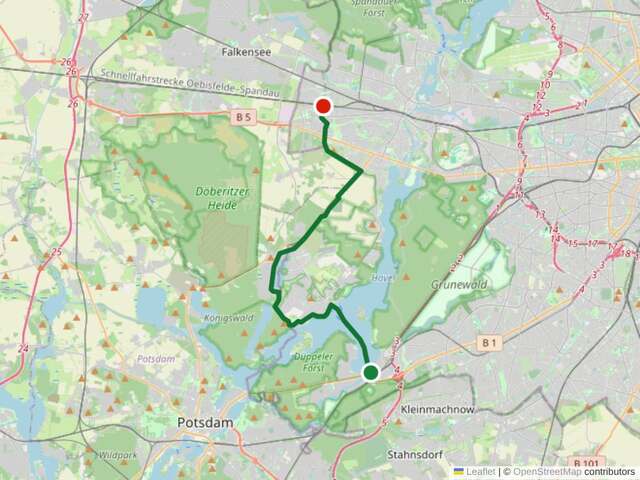
8. Wannsee to Staaken (21 km). The Havel crossing. At Wannsee you have a choice: take the F10 ferry across to Kladow, a lovely 20-minute ride with your bike aboard, or loop the long way around by road. From Kladow the trail runs up the western bank through Gatow and Groß Glienicke to Staaken. View this stage on the map →
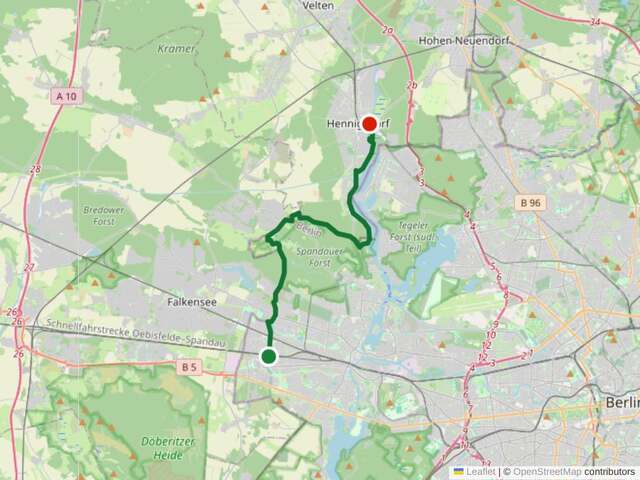
9. Staaken to Hennigsdorf (20 km). The long western arc through Falkensee and Schönwalde in Brandenburg, along the Havel to Hennigsdorf. Mixed terrain with some unpaved patrol-road sections. View this stage on the map →
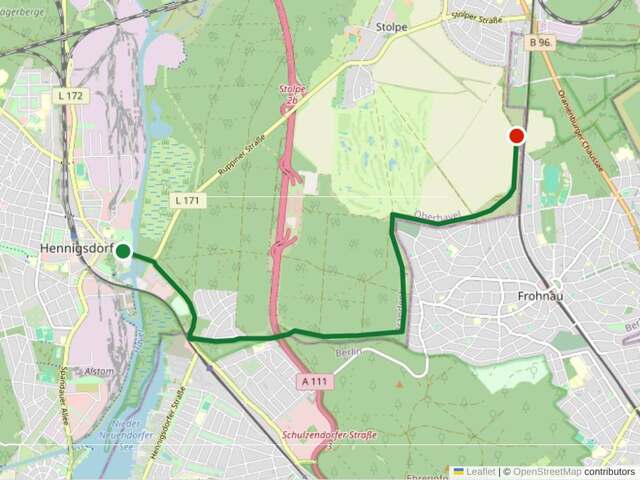
10. Hennigsdorf to Hohen Neuendorf (8 km). Along the Havel and through woodland around Berlin’s northern tip. View this stage on the map →
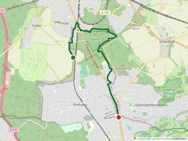
11. Hohen Neuendorf to Hermsdorf (8 km). Through the Tegeler Fließ nature reserve, a lush wetland valley that feels far removed from the city, into Hermsdorf. View this stage on the map →
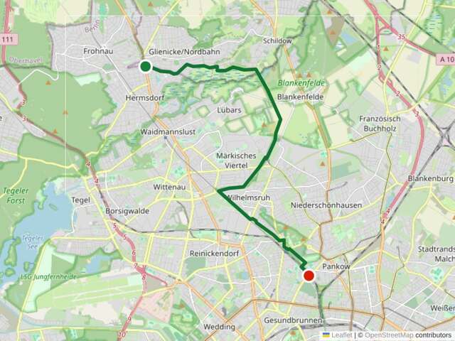
12. Hermsdorf to Wollankstraße (14 km). Re-entering the city through Frohnau, Lübars and Pankow, connecting back to the inner-city wall route. View this stage on the map →
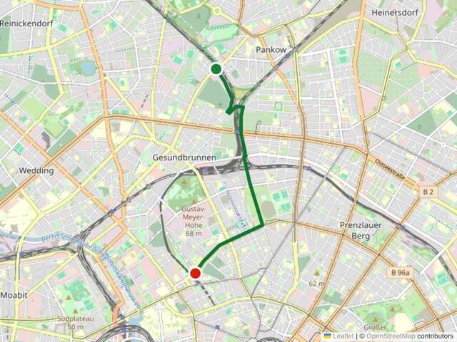
13. Wollankstraße to Nordbahnhof (5 km). Past the Bornholmer Straße crossing, where the border first opened on the night of 9 November 1989, then along Bernauer Straße past Mauerpark and the Berlin Wall Memorial, the trail’s most important documentation site, to the Nordbahnhof ghost station. View this stage on the map →
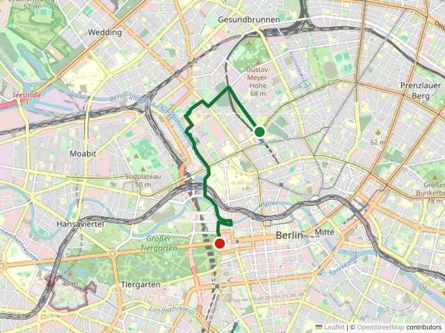
14. Nordbahnhof to Brandenburg Gate (5 km). The final stretch past the Günter Litfin memorial and along the Spree through the government quarter. View this stage on the map →
Practical Information
Bike Rental
Berlin has abundant bike rental options. Many visitors use full-day or multi-day rentals from shops in Mitte, Prenzlauer Berg, or Kreuzberg. A standard city bike costs around 12 to 15 euros per day; lighter touring bikes or e-bikes cost more but make the longer outer sections easier. If you plan to ride the full loop, an e-bike is worth considering, while the terrain is flat, 160 kilometres over two or three days adds up. Several companies also offer guided Mauerweg tours with bike included.
How Many Days?
Strong cyclists can complete the full loop in two days, but three days is more comfortable and allows time to visit memorials and read the information panels. If you only have one day, focus on the central stages, stage 1 from the Brandenburg Gate to the East Side Gallery and stages 13 and 14 back along Bernauer Straße, which pack the highest concentration of historical sites into under 20 kilometres. Many Berliners ride individual sections on weekends throughout the year.
Best Time of Year
April to October offers the best conditions. Summer days are long. Berlin gets over 16 hours of daylight in June, giving you maximum riding time. Spring and autumn are cooler and less crowded. Winter is feasible but some unpaved outer sections can be muddy, and daylight is limited to about eight hours.
Navigation
The green Mauerweg signs are generally reliable, but a few junctions in the outer sections can be confusing. Download a GPS track to your phone as backup. The Berlin Senate’s website offers official GPX files for each section. You can also use our interactive map to preview the wall’s route and plan which sites you want to visit along the way.
Route Highlights
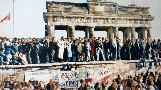
The central stages between the Brandenburg Gate and the East Side Gallery, and the Bernauer Straße corridor, offer the densest concentration of memorials and preserved wall segments. If your time is limited, prioritise these stretches. The Berlin Wall Memorial on Bernauer Straße is essential, it is the only place where all elements of the border system are preserved and explained in full context.
The outer sections reward you differently. The stretch past the Glienicker Brücke near Potsdam is beautiful and historically rich. The forest paths west of Spandau are among the quietest cycling you will find anywhere near a European capital. Along the southern border, you ride through Brandenburg villages where the wall’s path is now almost invisible, just a slightly different texture in the ground or a row of trees marks where the death strip once ran.
Tips for the Ride
- Carry water and snacks for the outer sections. Some stretches through Brandenburg farmland have no shops or cafes for 10 to 15 kilometres.
- Start early on inner-city sections if you want to avoid crowds, especially near Checkpoint Charlie and the Brandenburg Gate.
- Lock your bike securely at memorial sites. A solid U-lock is standard in Berlin.
- Combine cycling with S-Bahn: bikes are allowed on Berlin’s S-Bahn and regional trains (with a bike ticket), so you can ride one section and take the train back.
- Watch for cobblestones in some inner-city areas. A double row of cobblestones set into the road marks the wall’s former path, historically interesting, but bumpy on thin tyres.
The Berliner Mauerweg is one of Europe’s most unusual cycling trails. It is not a conventional scenic route, it follows a line drawn by Cold War politics, cutting through city blocks, forests, rivers, and fields. That is precisely what makes it worth riding. You experience the wall’s full geographic reality: not just the famous inner-city sites, but the entire 160-kilometre perimeter that once sealed off half a city. Explore the places along the route before you go, and check our guides for more walking and cycling itineraries.
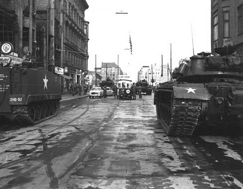
Checkpoint Charlie
East Side Gallery
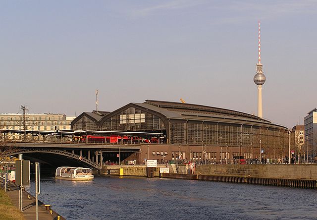
Bahnhof Friedrichstraße
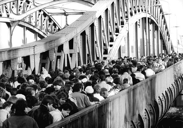
Bornholmer Straße

Checkpoint Charlie’s New Design Has Been Chosen, and the Guard House Stays
The Berlin Spy Tunnel: The CIA, MI6 and Operation Gold
Berlin Spy Tunnel Memorial
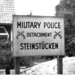
The Islands of West Berlin: Steinstücken, Eiskeller and the Exclaves Stranded in the East
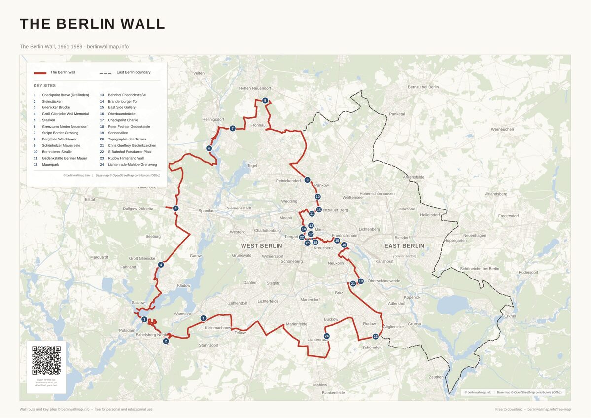
Free map downloads
Free printable PDF maps of the Berlin Wall.
Get the free maps →Explore the Timeline
Journey through Berlin Wall history from 1945 to 1990.
View Timeline →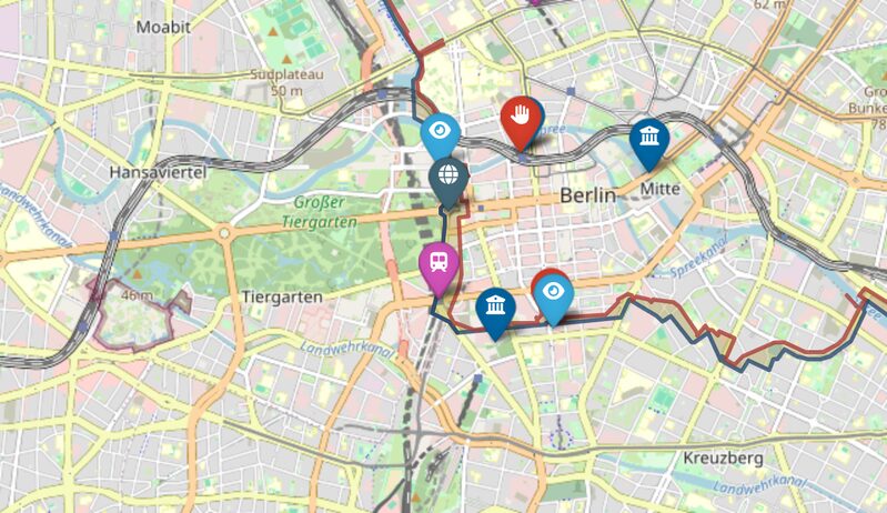
Embed Our Map
Add a free interactive Berlin Wall map to your website or blog.
Get embed code →